


Top of the switchbacks

Starting the way down

Halfway to the bottom

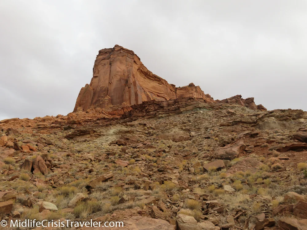
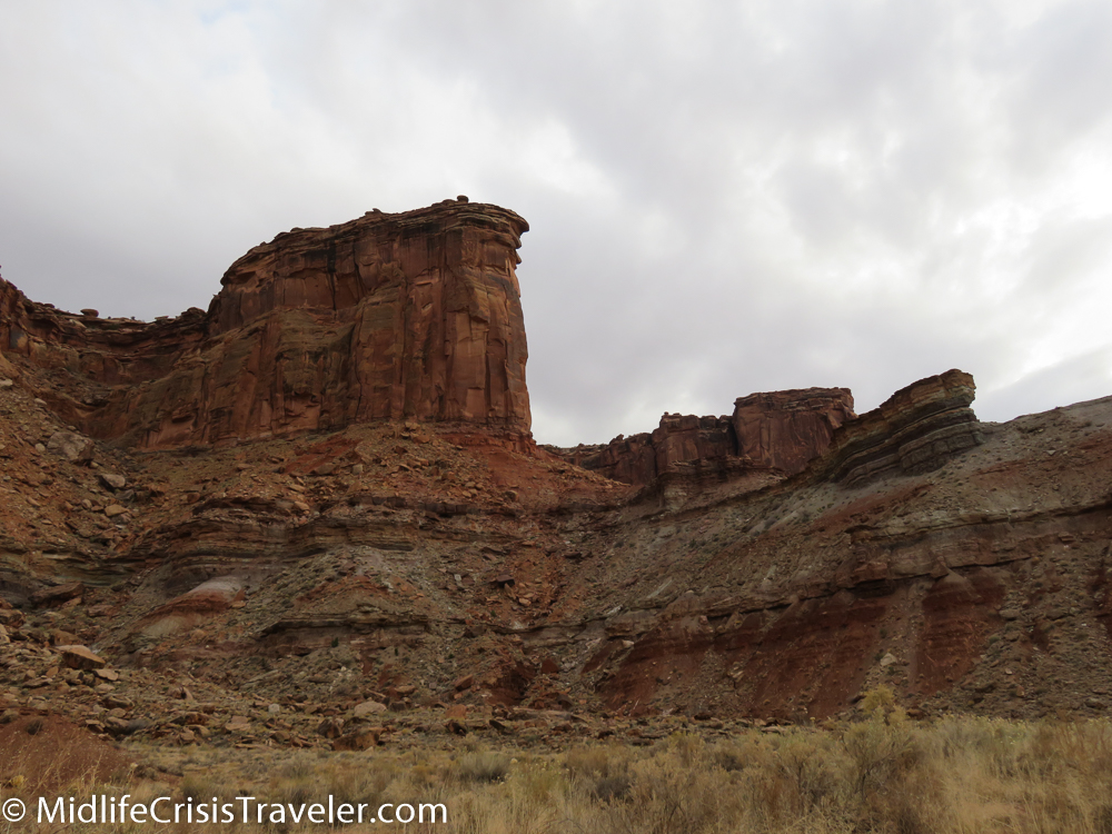
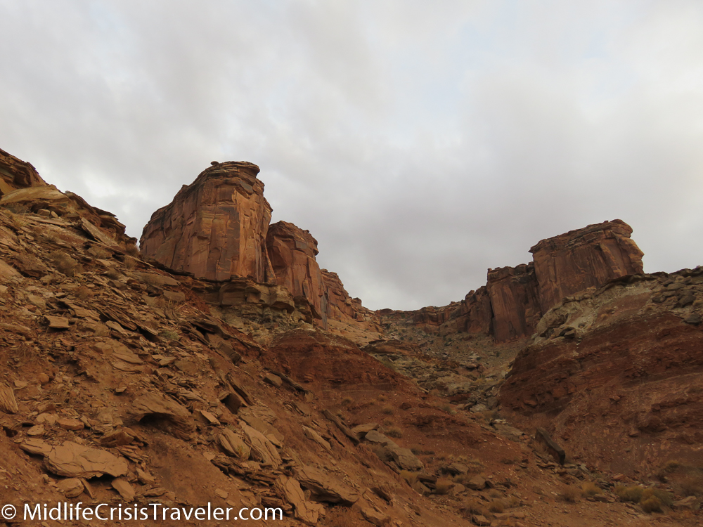
Looking up to the top
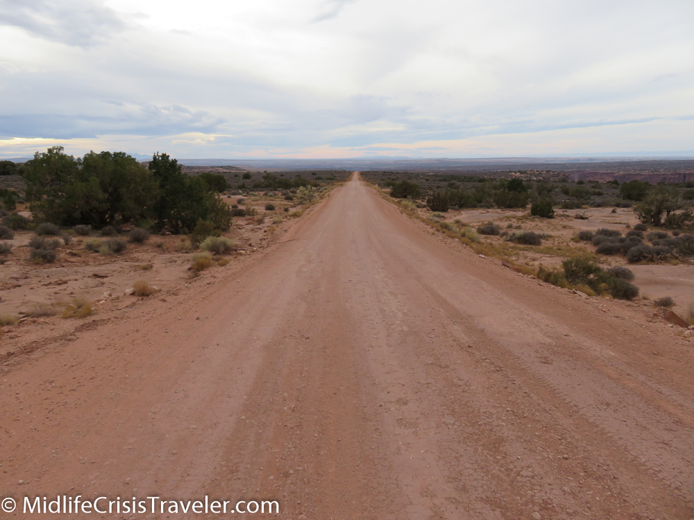
Canyonlands is an eye-popping park. Although there are some unique and striking vantage points peering down into the canyons, there are a limited number of paved roads that will allow the average visitor a comprehensive experience of what the park offers. One unpaved road that is accessible to two-wheel drive vehicles is the Mineral Road. Although it branches off from Route 313, the main road into Canyonlands, it doesn’t lead into Canyonlands National Park. The journey down Mineral Road is rather unspectacular but the destination, Mineral Bottom, is a fascinating adventure.


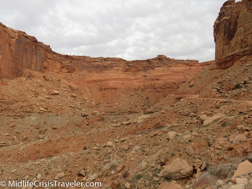


The road ends with a perilous switchback and harrowing drive to the edge of the Green River. I have a near-paralyzing fear of heights which I am currently trying to deal with. This experience was one that I will never forget. In some areas of the road, there are concrete slabs which were placed on the mountain when part of the road washed out or collapsed. There are other areas where the road is so narrow, there is only a foot between the edge of the cliff and the tire of the car. In those cases, there is zero margin for error.
Click the link for additional pictures and details.
http://www.dangerousroads.org/north-america/usa/791-mineral-bottom-usa.html
Video of someone driving on the road

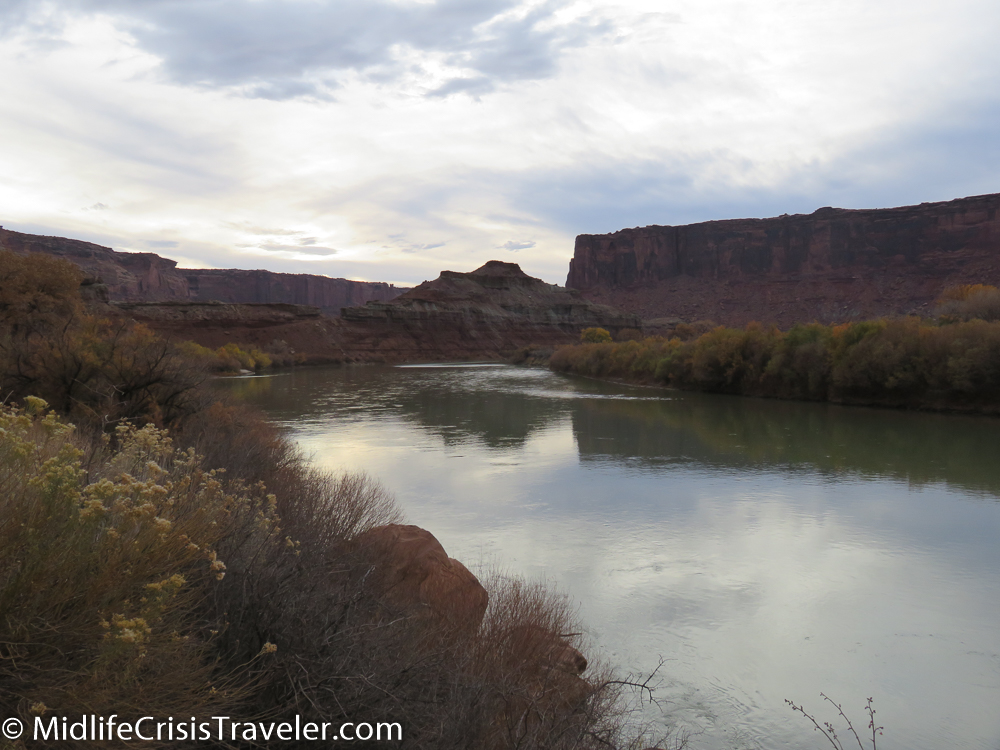
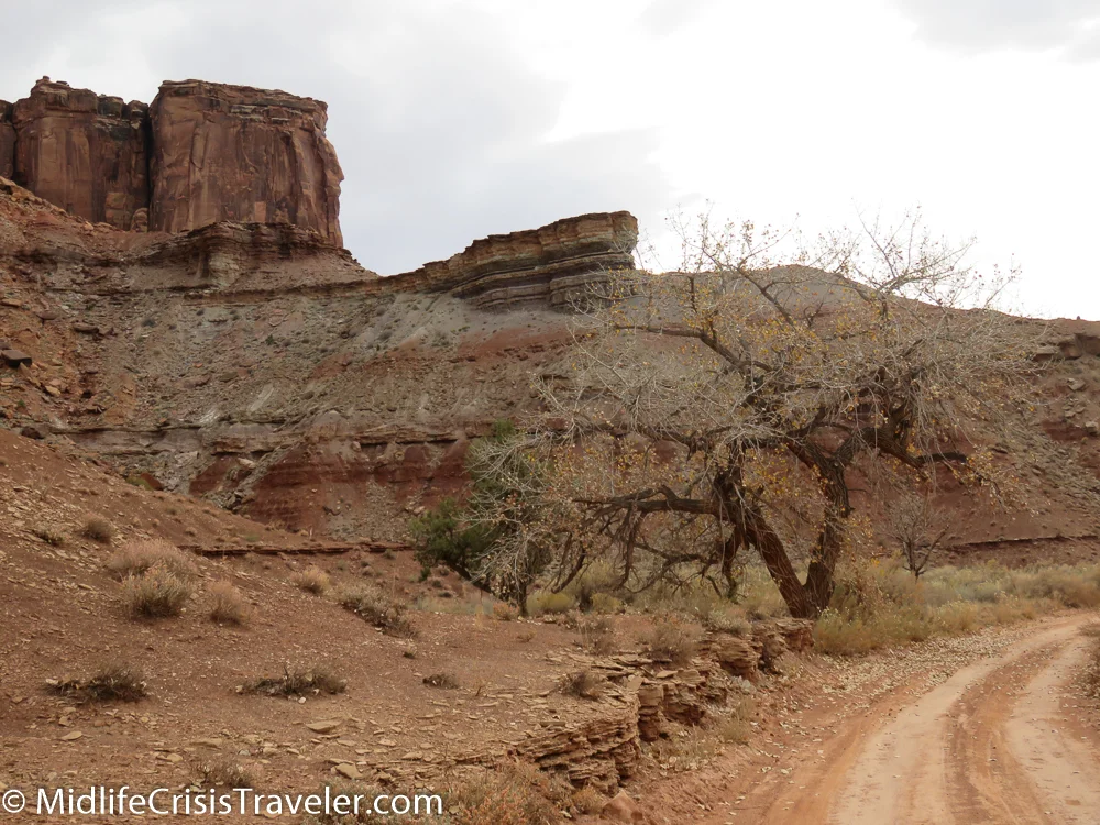

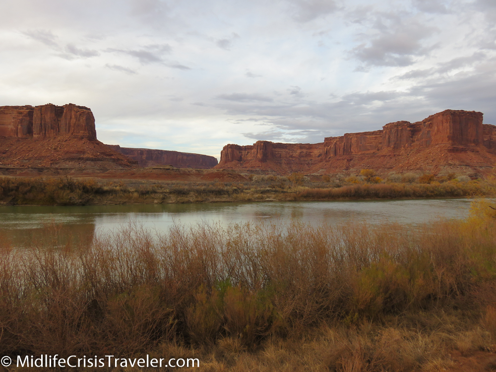
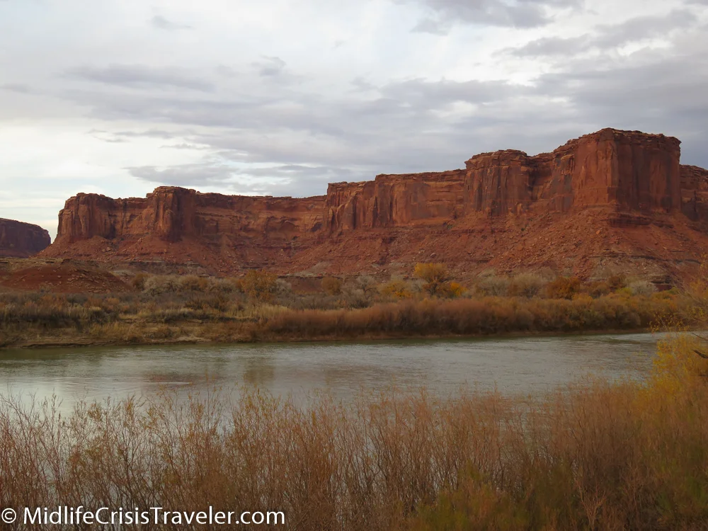

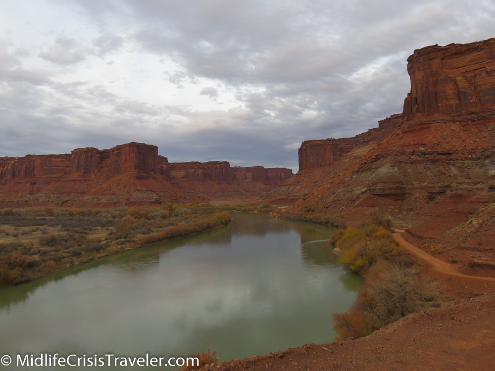
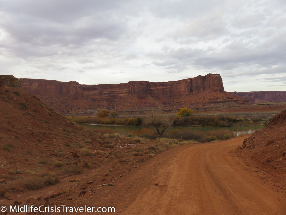
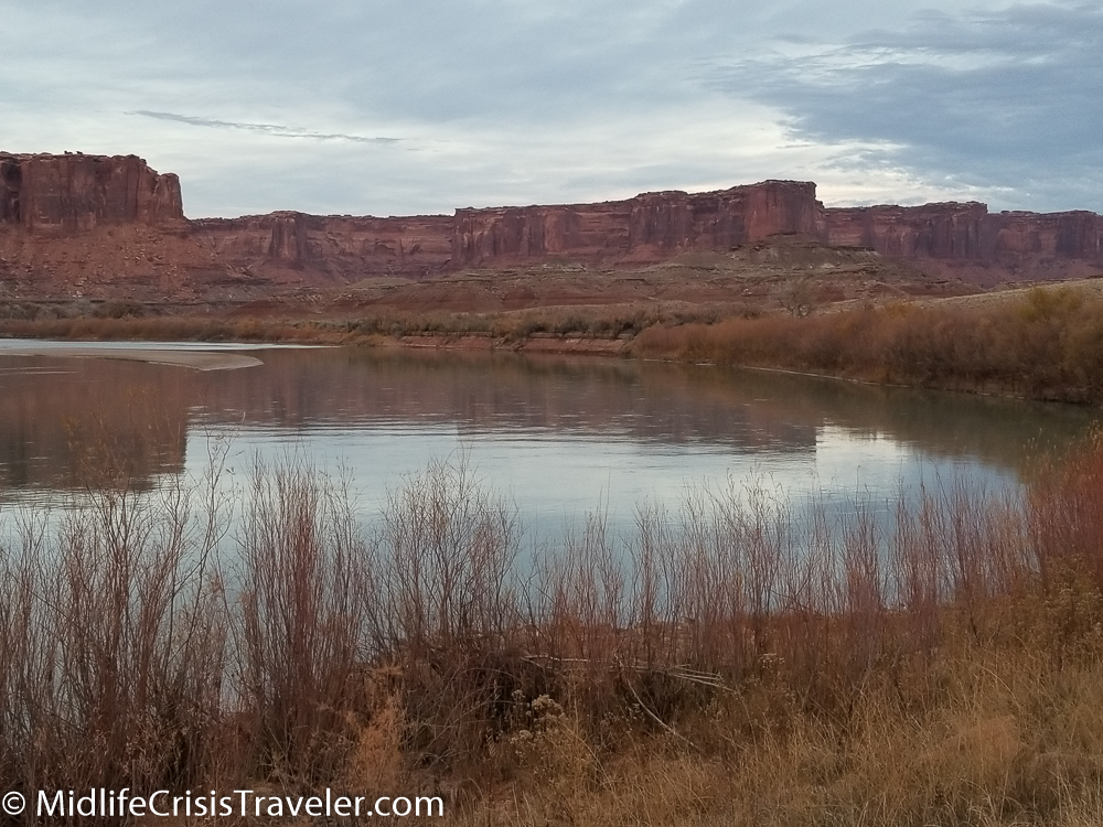
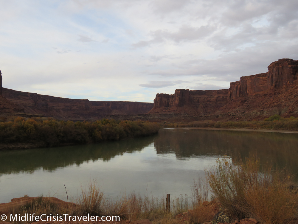
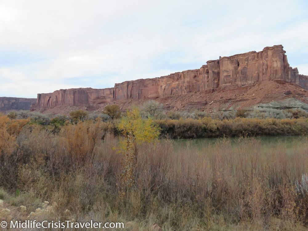
The destination, called Mineral Bottom, is worth the treachery that one must endure. At the base of the mountain, the road forks north and south. I drove about a mile north and discovered a boat ramp. Since it was late in the day I did not have time to drive the full length of the road so I drove south to see what else I could see. About 2 miles south of the fork, I encountered some very soft sand. When driving on these dirt roads, it is imperative that you use extreme caution. Some roads are very desolate and there is no cell phone service. If you get stuck, you could be there for hours before someone drives by. Some trails not only have soft sand but quicksand as well. Since I did not have a 4-wheel drive vehicle at my disposal, I chose to take what pictures I could and head for the exit.


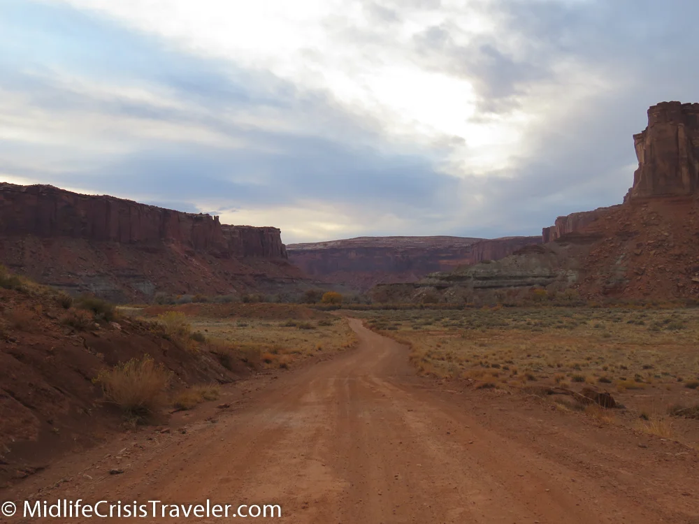


I highly recommend a trip to this area but you need to have a very experienced driver, someone who will not have a fear of heights or treacherous roads. You should drive through this area with a 4-wheel drive vehicle to complete the trip as safely as possible. Always consult with park rangers or area guides who can advise you whether it is safe to explore this type of terrain. It might not be safe to drive down the switchback when it is wet so definitely consult someone who is familiar with these roads. I loved this area and will definitely visit it again when I return to Canyonlands.


Have you visited Mineral Bottom? What was your experience like?
Click the link for more information about Canyonlands National Park.