“Be very careful if you are hiking. Take plenty of water with you because you can become dehydrated quickly.”--Park Ranger
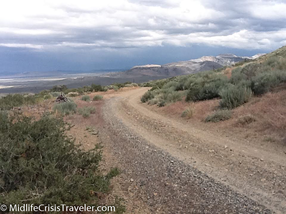
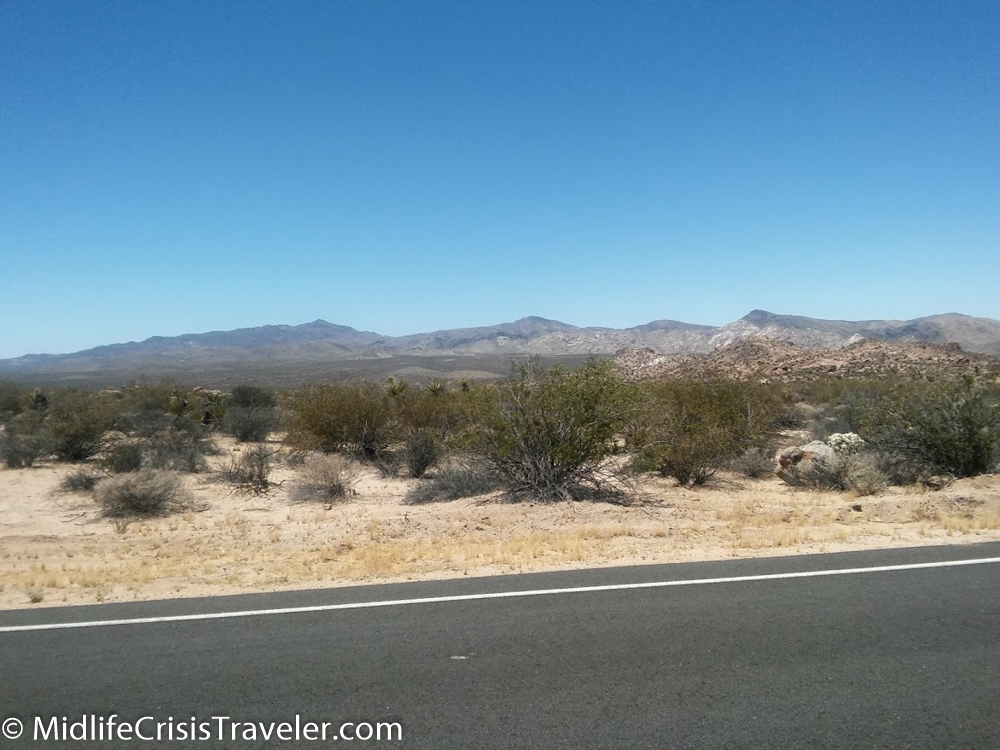
June in Joshua Tree National Park will not be confused with February in Buffalo. It’s hot and dry and the sun is extremely strong. You might not notice it if you are driving in an air-conditioned car or just spend a few minutes standing in the heat. Walking a trail in this environment can be fatal if not taking the proper precautions.
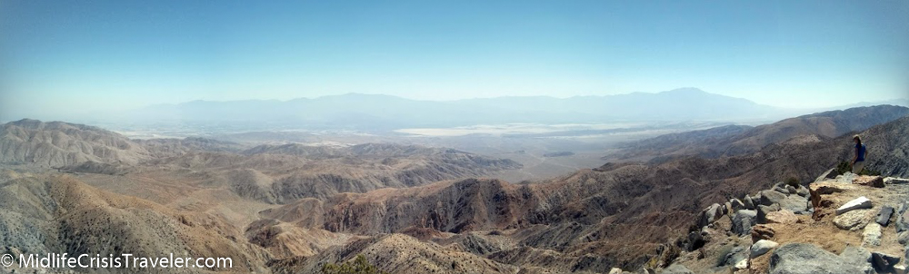
Keys View offers an incredible view of the Coachella Valley. The peaks of the mountains on the opposite side of the valley are the tallest peaks in southern California.
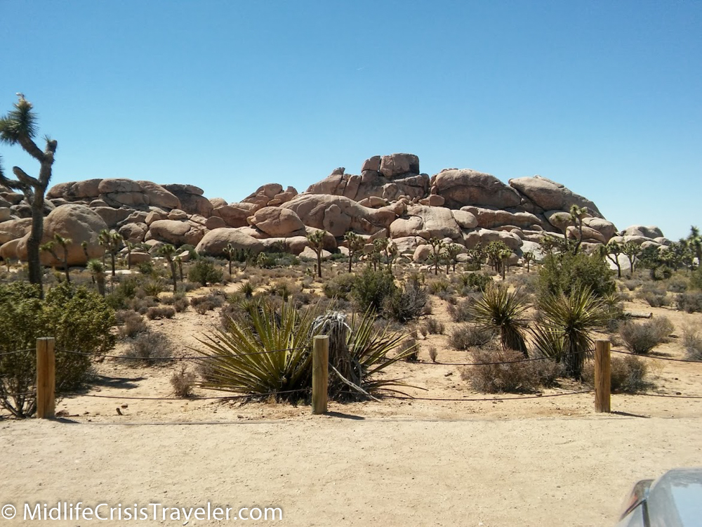
Joshua Tree is a unique place. Some of the rocks have been dated to 1.7 billion years old. These precarious rock formations owe their architecture to erosion.


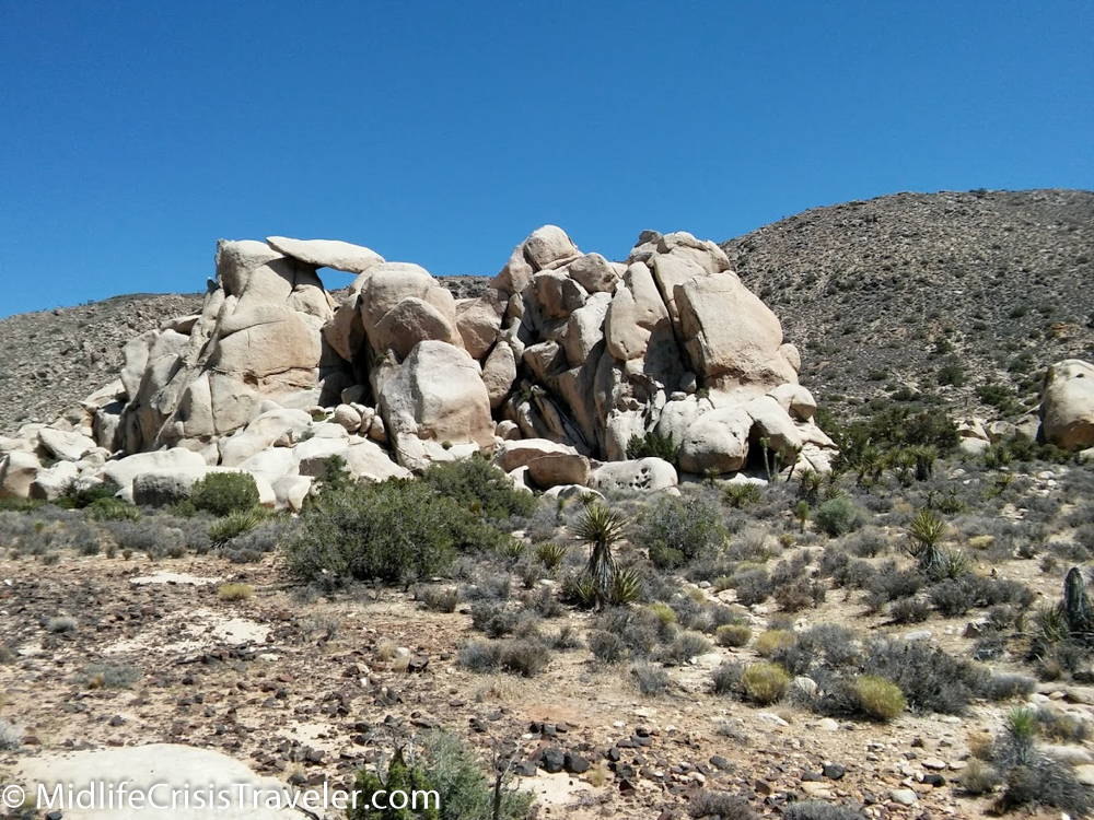
Check out the rock balancing on the top left portion of the pile.


This rock was teetering on edge. It was also in the shape of a pork chop--it's always about food
From the National Park Service Joshua Tree Website:
Joshua Tree’s nearly 800,000 acres were set aside to protect the unique assembly of natural resources brought together by the junction of three of California’s ecosystems:
•The Colorado Desert, a western extension of the vast Sonoran Desert, occupies the southern and eastern parts of the park. It is characterized by stands of spike-like ocotillo plants and “jumping” cholla cactus.
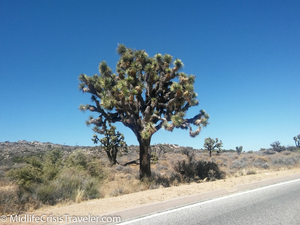
•The southern boundary of the Mojave Desert reaches across the northern part of the park. It is the habitat of the park’s namesake: the Joshua tree. Extensive stands of this peculiar looking plant are found in the western half of the park.
•Joshua Tree’s third ecosystem is located in the westernmost part of the park above 4,000 feet (1,219 m). The Little San Bernardino Mountains provide habitat for a community of California juniper and pinyon pine.
Have you been to Joshua Tree National Park? What is your favorite part of the park and why?
For more information about Joshua Tree National Park, click the link below.